
About All Tours Small Group ToursSelf-Guided Audio ToursHelicopter ToursPrivate ToursLuxury ToursWith Pickup ToursHalf Day ToursFrom Lahaina Tours Directions Hours & Fees
Find Tours 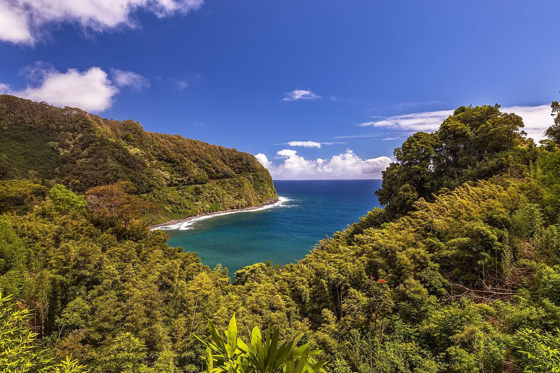
Maui's Route 360 covers 64.4 miles of sheer coastal cliffs and dense tropical rainforest. The highway connects Kahului to remote East Maui across 59 narrow one-lane bridges.
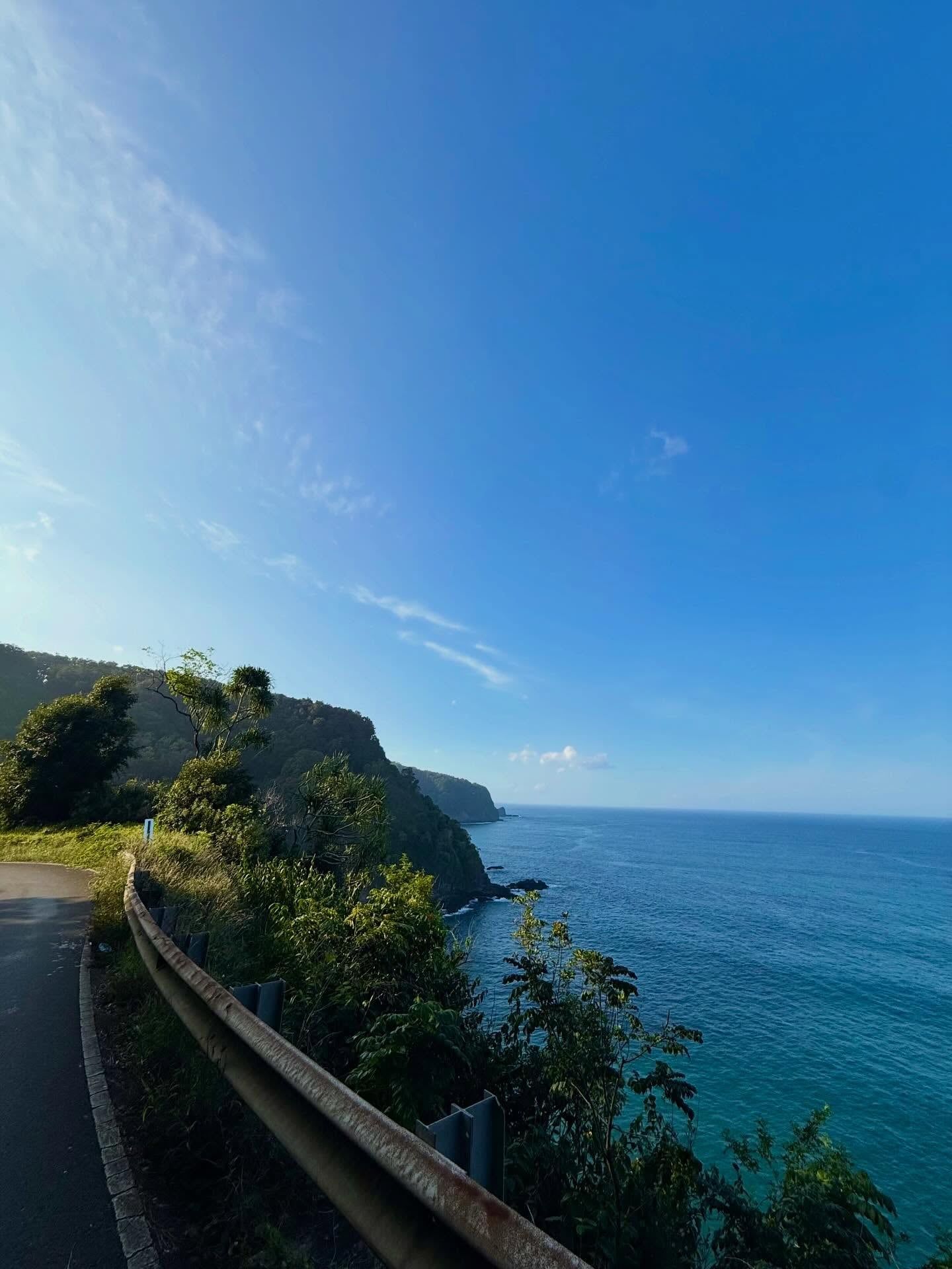
Route 360 cuts a 64.4-mile path along the rugged northeastern edge of Maui. The two-lane asphalt highway links the commercial hub of Kahului to the isolated town of Hana. Drivers navigate 620 hairpin turns and cross 59 one-lane bridges, many dating back to the early 1900s. Dense tropical rainforest crowds the pavement on one side, while steep basalt cliffs drop directly into the Pacific Ocean on the other. The route requires intense focus, a full tank of gas from Pa'ia, and an early departure between 6:30 AM and 7:00 AM to beat the large commercial tour buses.
Heavy rains frequently trigger flash floods and rockslides across the region. Sudden closures happen without warning, stranding vehicles for hours. Waterfalls spill directly onto the roadway during intense storms, creating hazardous driving conditions. When the weather stabilizes, visitors encounter towering bamboo forests that clack in the wind and massive underground lava tubes. The drive takes roughly 2.5 hours without stopping, but a standard roundtrip visit requires 10 to 12 hours to accommodate hiking, swimming, and navigating the continuous winding turns that often cause severe motion sickness. Professional guided van tours depart from Kahului and cost between $150 and $350 per person. These climate-controlled vehicles seat up to 12 passengers and eliminate the physical stress of driving. Wheelchair-friendly spots exist at Pua'aka'a State Wayside and Hana Bay Beach Park, offering accessible pathways and clear viewpoints without the need to navigate steep, muddy trails.
The route preserves a physical connection to East Maui's past. Ancient Hawaiians walked this exact coastline on hand-laid stone paths long before modern vehicles arrived. Today, local farmers still cultivate taro in the Ke'anae Peninsula just off the main road. Traffic congestion remains a serious issue for these remote communities. Maui County strictly enforces a $235 fine for illegal parking to keep the narrow corridor clear for emergency vehicles and residents. Visitors must pull completely into designated turnouts to take photographs. Check the Hawaii DOT website at 6:00 AM before starting the drive to confirm the highway is open. The best months to visit fall during the shoulder seasons when weather patterns stabilize, reducing the risk of flash floods. Mid-week days like Tuesday, Wednesday, and Thursday see significantly less traffic than weekends. Peak winter rainy seasons bring heavy downpours, while summer holidays guarantee extreme tourist crowding that makes securing required state park reservations nearly impossible.
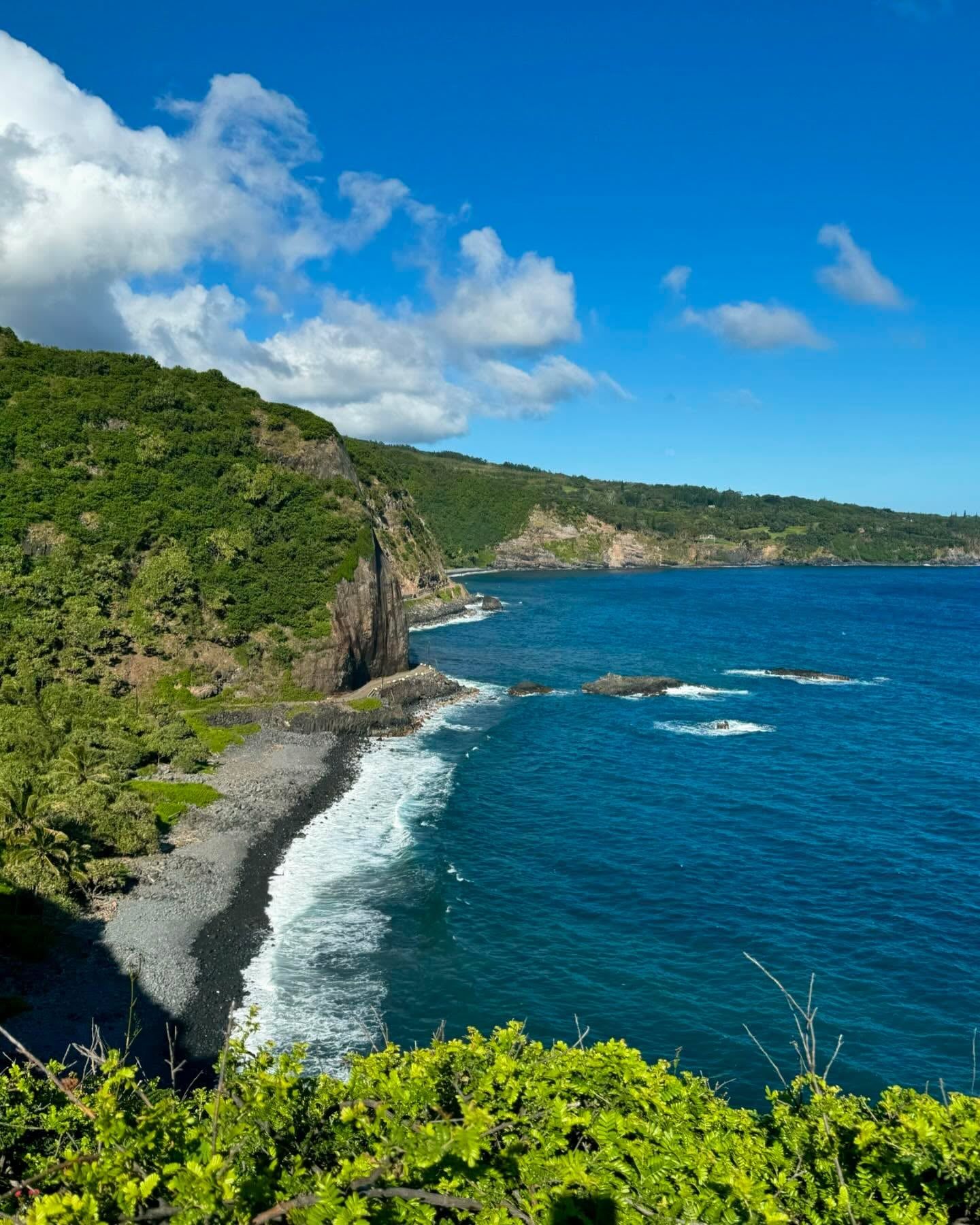
King Pi'ilani unified Maui in the 16th century and ordered the construction of the Alaloa. This hand-fitted basalt stone path measured four to six feet wide and stretched 138 miles around the island. His son, Kihapiilani, later extended the trail directly into the rugged Hana District. Barefoot messengers, tax collectors, and warriors used this coastal route to traverse the island's deep valleys and sheer cliffs. The original stone foundations still exist in isolated patches along the modern highway, hidden beneath thick layers of tropical vegetation.
Modern engineering arrived in the 1870s to support the booming agricultural industry. Sugar plantation owners needed East Maui's abundant rainfall to irrigate central sugarcane fields. The Hamakua Ditch project required a wider, more accessible path to transport materials and laborers into the remote watershed. Prison inmates, native Hawaiians, and immigrant workers carved the dirt road out of the mountainside using hand tools and dynamite. Heavy rains routinely washed out their progress, forcing crews to rebuild sections repeatedly. The territorial government finally opened the unpaved highway to automobile traffic in 1926, drastically reducing the travel time between Hana and the rest of the island. Prior to this, the journey by steamship or horseback took several days.
Sugarcane production eventually declined as global markets shifted. Tycoon Paul Fagan purchased thousands of acres of empty fields in the 1940s to raise cattle. He established the Hana Ranch and opened the Hotel Hana Maui to create jobs for the local population. Fagan introduced tourism to the remote community, flying guests in on small planes or driving them over the grueling dirt road. He also erected a large cross on a hill above the town, which still stands today as a memorial. The highway received a spot on the National Register of Historic Places in 2001, recognizing its vital role in Maui's development. Paving the entire 64.4-mile stretch took decades of state funding, and the route continues as County Route 31 to Kipahulu. The Hawaii Department of Transportation still conducts roving maintenance on weekdays between 12:30 AM and 11:00 AM or 7:00 AM to 5:00 PM to clear fallen trees, patch potholes, and stabilize the fragile cliff walls.
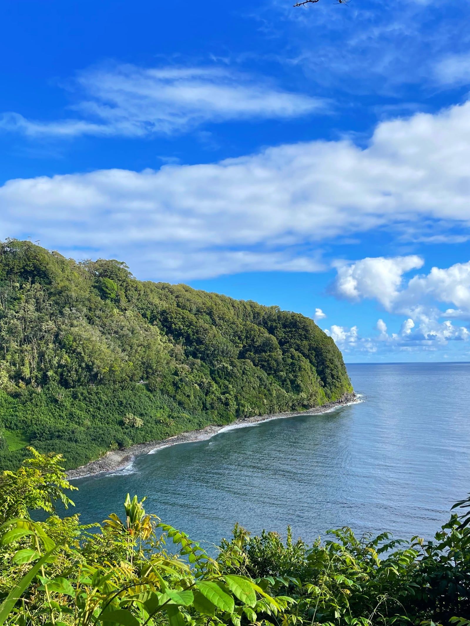
Eighty-foot cascades of freshwater pour over the Wailua Falls directly next to the asphalt. The Hana Highway crosses a landscape defined by intense volcanic activity and extreme erosion. The route skirts the edge of Haleakalā, a dormant shield volcano that shaped Maui's eastern half. Centuries of heavy rainfall have carved deep, V-shaped valleys into the mountain's flanks. The resulting topography forces the road to snake inland at every gulch before returning to the coastline. Fifty-nine narrow bridges span these deep ravines, forcing drivers to yield constantly to oncoming traffic.
Black, red, and white sand beaches dot the shoreline. At Waiʻanapanapa State Park, ocean waves crash against jet-black basalt pebbles. This unique sand formed when molten lava hit the freezing Pacific water, shattered into fragments, and ground against the shore for millennia. Inland, the Hana Lava Tube stretches underground. This massive, dark cavern formed when the surface of a lava flow cooled and hardened into a crust, leaving a hollow tunnel as the molten rock drained away into the ocean. Visitors can walk through the spacious cavern using flashlights to examine the hardened lava stalactites hanging from the ceiling, or navigate the family-friendly outdoor garden maze located on the property.
The dense tropical canopy creates a distinct microclimate over the highway. Bamboo forests tower above the four-mile Pipiwai Trail, blocking out the sun and creating a hollow, wooden clacking sound in the wind. The trail ends at the base of Waimoku Falls, which drops 400 feet down a sheer rock face. Rainbow eucalyptus trees shed their bark to reveal bright green, orange, and purple trunks at the Ke'anae Arboretum. At Mile Marker 10, the Garden of Eden Arboretum spans 26 curated acres of rare trees and tropical flowers. Gravel pathways lead to the Rainbow Overlook, offering expansive views of the rainforest canopy. Further down the coast, Hamoa Beach features soft, salt-and-pepper sand in a crescent-shaped cove. The constant moisture makes the terrain highly unstable across all these locations. Muddy trails and sharp, slippery volcanic rocks require sturdy, closed-toe shoes to navigate safely. Pack a wet/dry bag for gear, as sudden downpours occur daily regardless of the forecast.
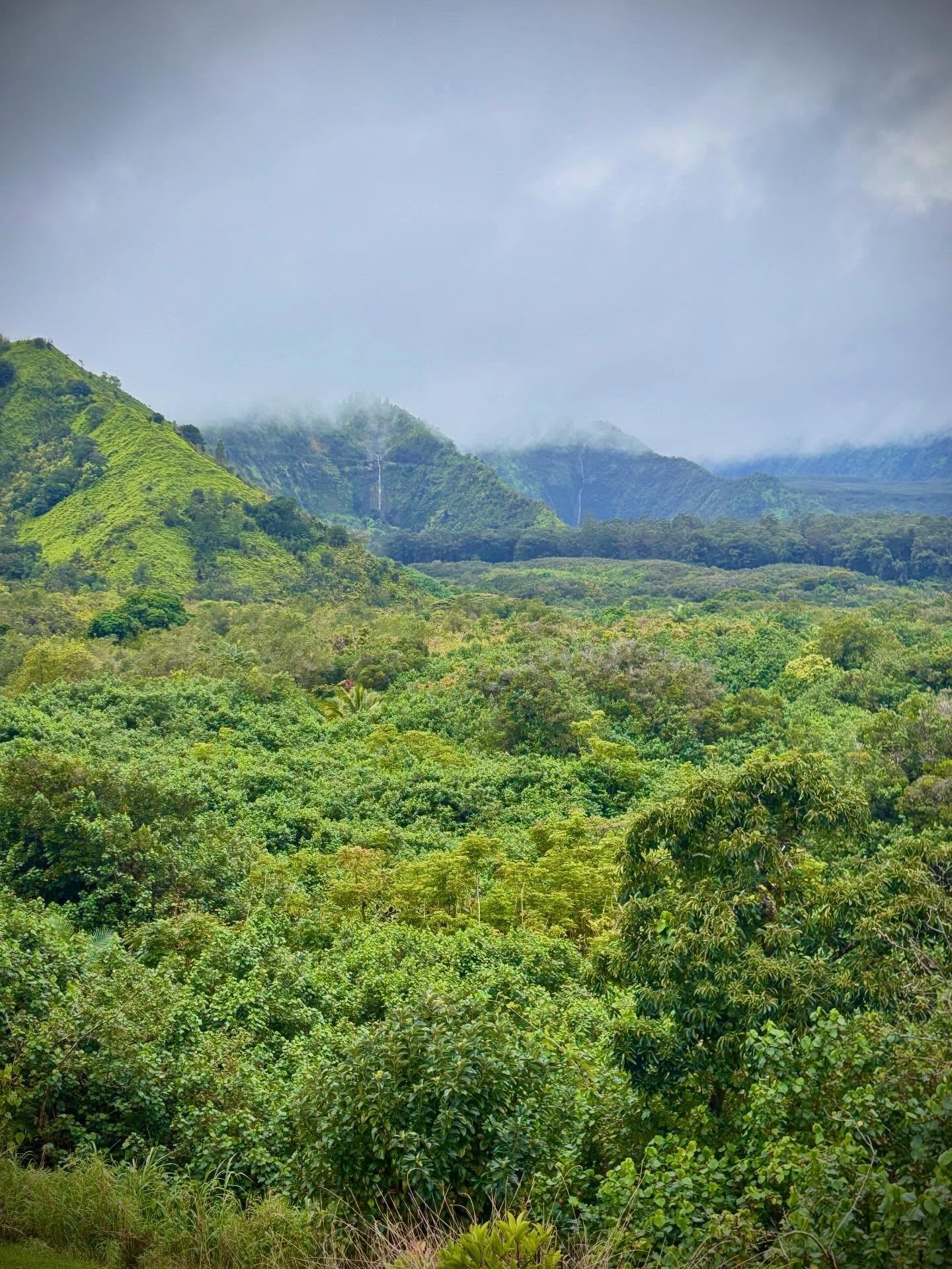
East Maui remains one of the last strongholds of traditional Hawaiian agriculture. The Ke'anae Peninsula juts into the ocean at Mile Marker 16, where local families still cultivate taro in flooded patches just as their ancestors did centuries ago. This starchy root vegetable forms the basis of poi, a central element of the native Hawaiian diet. Historic stone churches built in the 1800s stand near these agricultural terraces. The Ke'anae Congregational Church survived a devastating tsunami that wiped out the surrounding village in 1946, leaving only the stone walls standing amid the wreckage.
The Kahanu Garden at Mile Marker 31 houses the Pi'ilanihale Heiau. This three-acre basalt structure is the largest ancient temple in Hawaii. Early Polynesian settlers built the massive stone terraces by hand, passing rocks up the steep cliffs from the shoreline below in a massive human chain. The site served as a religious and political center for Maui's ruling chiefs, and today it operates as a National Tropical Botanical Garden preserving rare plant species brought by the original voyagers. Entry costs $18.00 for adults, funding the ongoing restoration of the stone walls and the cultivation of breadfruit collections. Thirty minutes past Hana Town lies the Kipahulu District of Haleakalā National Park. This protected area houses the Pools of 'Ohe'o and requires a National Park pass for entry. The district preserves pristine native ecosystems and ancient Hawaiian cultural sites along the coastal cliffs. In Hana Town itself, the Hasegawa General Store operates as a central community hub. This historic shop packs a massive variety of merchandise into a rustic space, supplying residents with groceries and hardware since the early 1900s.
Navigating the highway requires strict adherence to local etiquette. The road operates as a vital lifeline, not just a tourist attraction. Residents rely on this single lane to commute to work, transport agricultural supplies, and access emergency medical care in Kahului. Visitors stopping in the middle of the road to photograph waterfalls block this critical infrastructure. Drivers must pull completely over at designated turnouts to let faster traffic pass. Yield to oncoming vehicles at the one-lane bridges, and never trespass past signs marking private property to reach hidden swimming holes.
The jet-black sand at Waiʻanapanapa State Park consists of shattered basalt. Molten lava exploded into tiny fragments upon hitting the cold ocean water.
The dense bamboo grove along the Pipiwai Trail blocks out sunlight. The hollow stalks strike each other in the wind, creating a loud, rhythmic clacking noise.
Visitors can walk through a massive subterranean tunnel near Hana. Ancient flowing lava hollowed out this spacious cavern before draining into the sea.
Rainbow eucalyptus trees grow at the Ke'anae Arboretum. They shed their outer bark to reveal bright streaks of green, orange, and purple wood underneath.
Modern construction on the highway began in the 1870s to build an irrigation system. Workers diverted East Maui's heavy rainfall to central sugarcane fields.
Maui County aggressively enforces a no-parking crackdown along the route. Leaving a vehicle outside designated areas results in a $235 penalty.
A massive tidal wave destroyed the Ke'anae Peninsula village in 1946. Only the historic stone church remained standing amid the wreckage.
The 64.4-mile highway packs extreme geographical diversity into a single drive. Drivers navigate 620 curves and 59 one-lane bridges while passing dozens of waterfalls, sheer coastal cliffs, and dense rainforests.
A non-stop drive from Kahului to Hana takes roughly 2.5 hours. A realistic roundtrip itinerary with stops for hiking and swimming requires 10 to 12 hours.
Yes, non-residents must book advance reservations to enter Waiʻanapanapa State Park. Same-day bookings are not available, and entry costs $5 per person plus a $10 parking fee.
The Piilani Highway past Hana is currently paved and open for a complete loop. Heavy rainfall frequently causes rapid closures, so drivers must check Hawaii DOT conditions that morning.
A standard rental car handles the paved portions of the highway easily. Some rental agreements prohibit driving the unpaved back road through Kipahulu, requiring drivers to check their contracts beforehand.
The only gas station past Paia is located in the remote town of Hana. Drivers should fill their tanks completely in Paia before starting the journey to avoid exceptionally high fuel prices.
Cell phone service is non-existent along large stretches of the route. Visitors must download offline maps or GPS audio guides before departing Kahului.
Maui County issues a $35 parking fine and a $200 surcharge for illegal parking. Drivers must keep all tires inside the white lines of designated spaces to avoid the $235 total penalty.
The original hand-laid stone path, the Alaloa, dates back to the 16th century. The territorial government officially opened the modern unpaved highway to cars in 1926.
Athletic clothing and sturdy, closed-toe shoes are necessary for navigating sharp lava rocks and muddy trails. Flip-flops cause severe foot injuries on the unstable terrain.
Browse verified tours with free cancellation and instant confirmation.
Find Tours